Project Summary
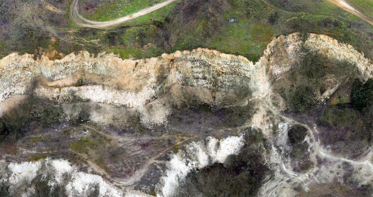
Photogrammetry is the art and science of extracting 3D information from photographs. The process involves taking overlapping photographs of an object, structure or space and converting them into 2D or 3D digital models.
Photogrammetry is often used by surveyors, architects, engineers and contractors to create topographic maps, meshes, point clouds or drawings based on the real world.