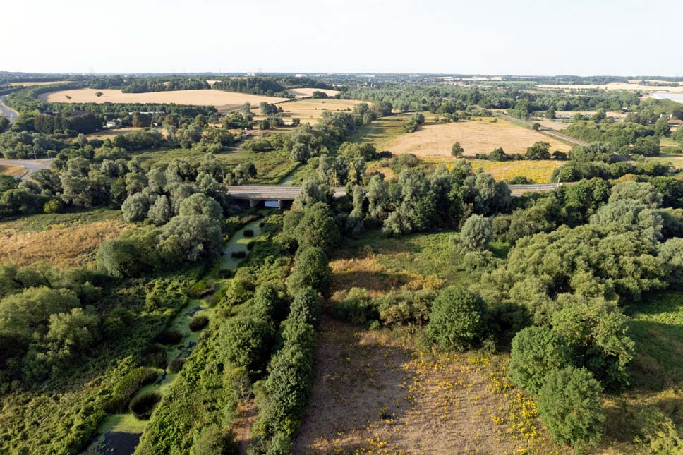
The River Gipping
The River Gipping is the source river for the River Orwell in the county of Suffolk in East Anglia, England, which is named from the village of Gipping, and which gave its name to the former Gipping Rural District. The name is unrelated to the name of Ipswich.[1] although the County Town takes its name from Gippeswic. It rises near Mendlesham Green and flows in a south-westerly direction to reach Stowmarket.
View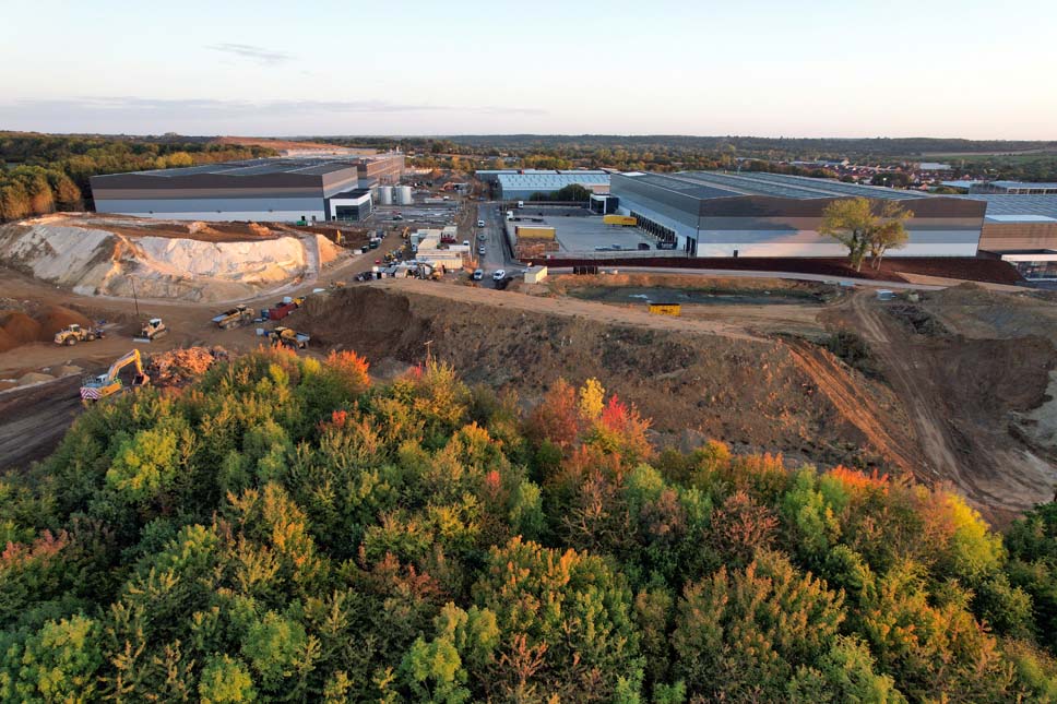
Port One E-Commerce Logistics Park
Port One Logistics Park is a bespoke fulfilment and warehousing development, located at the heart of the Freeport East zone.
Providing direct access to the A14 at Junction 52 and onward routes via the A12, M25 and M1, Port One has already secured tenants for three units and has further commitments for over 855,000 sq ft of new-era warehousing, much of which is already under construction.
View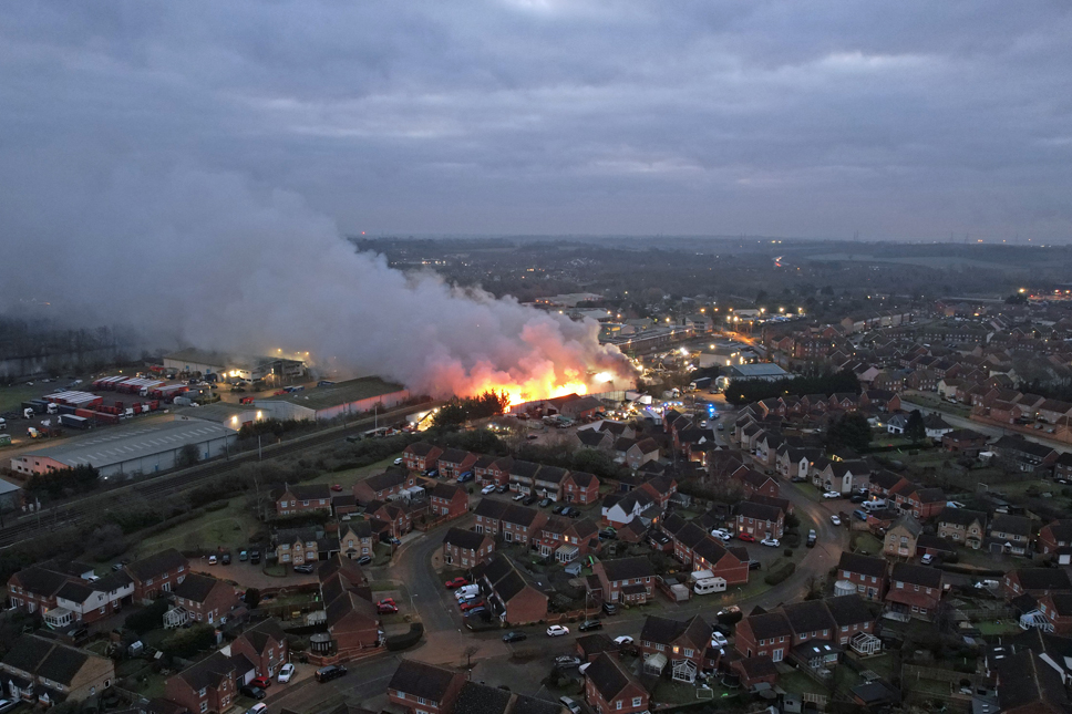
In The News
A collection of miscellaneous, one-off media items which fall outside of existing projects
View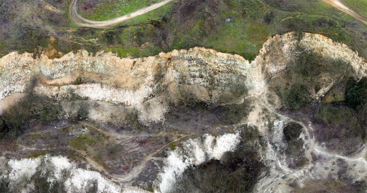
Photogrammetry
Photogrammetry is the art and science of extracting 3D information from photographs. The process involves taking overlapping photographs of an object, structure or space and converting them into 2D or 3D digital models.
Photogrammetry is often used by surveyors, architects, engineers and contractors to create topographic maps, meshes, point clouds or drawings based on the real world.
View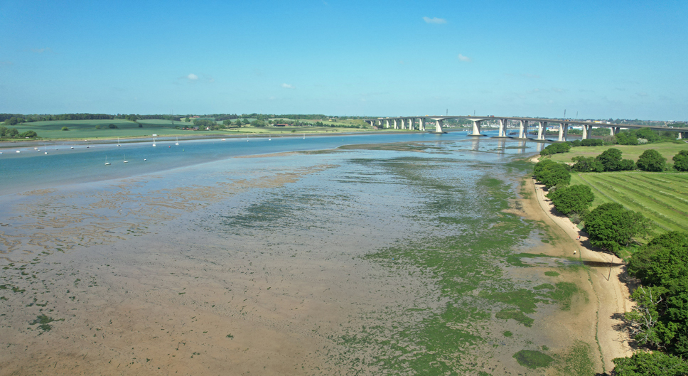
The River Orwell
The River Orwell flows through the county of Suffolk in England from Ipswich to Felixstowe. Above Ipswich, the river is known as the River Gipping, but its name changes to the Orwell at Stoke Bridge, where the river becomes tidal.[1] It broadens into an estuary at Ipswich, where the Ipswich dock has operated since the 7th century, and then flows into the North Sea at Felixstowe, the UK's largest container port, after joining the River Stour at Shotley forming Harwich harbour.
View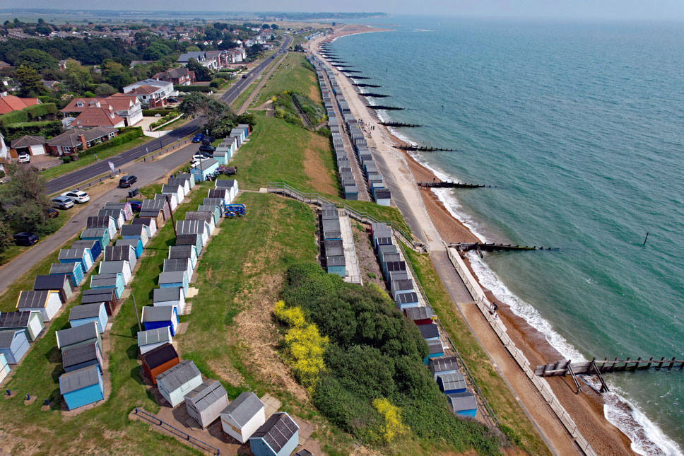
Felixstowe
Felixstowe is a port town in Suffolk, England. The Port of Felixstowe is the largest container port in the United Kingdom.
View